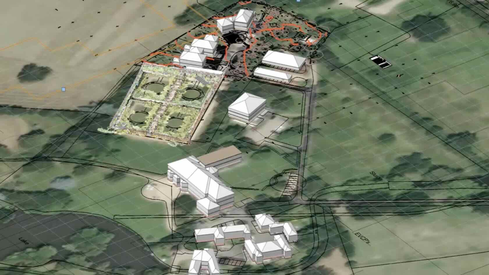
Discover the power of digital tools for optimizing site analysis in your projects.
In this webinar, you'll learn advanced data import techniques and innovative approaches to working with both 2D and 3D topographical surveys. Plus, you’ll discover how to develop sustainable landscape designs by leveraging site model data to assess slope, elevation, surface water flow, and site context using georeferencing and satellite imagery.
With these insights and more, you can confidently handle
early-stage design decisions.
To receive 1 LA CES PDH and 1 APLD CEU, please make sure to login and complete the quiz after watching our webinar.


- Manager: Vectorworks University
Requires Approval: No