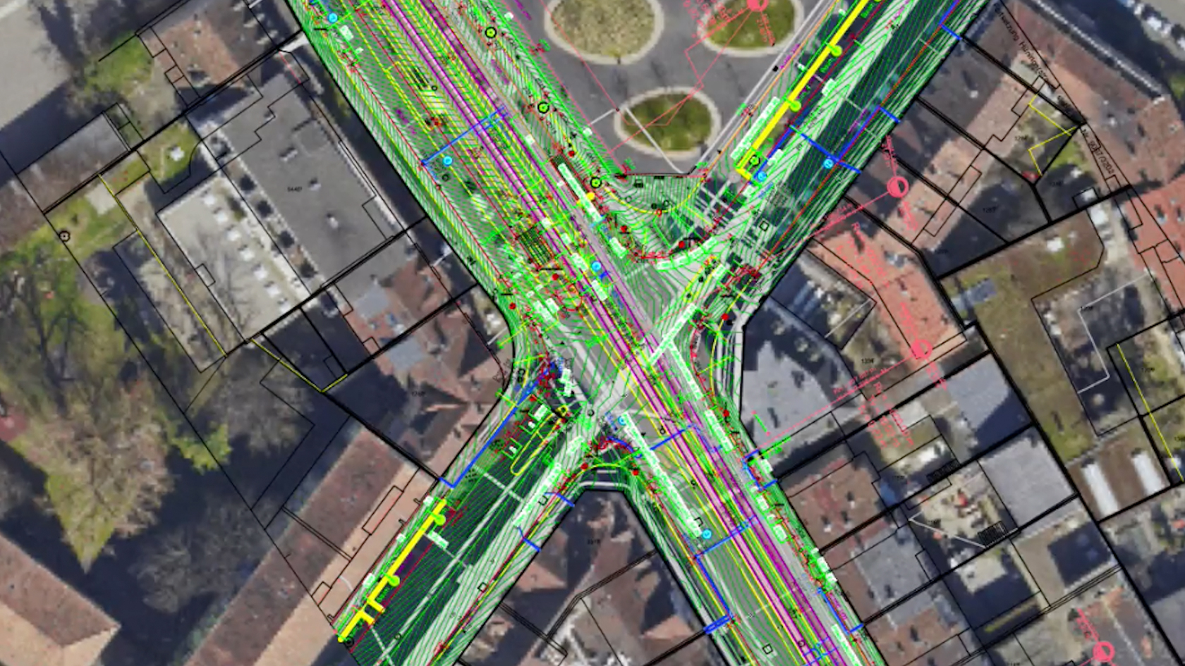
No matter who’s involved in your file exchange, it’s critical to maintain accurate project file position and origin. This is essential for efficient design and documentation workflows — and the integrity of project delivery. This presentation will review best practice workflows using georeferencing within the file organization to integrate other CAD, BIM, and GIS files.
To receive 1 LA CES PDH and 1 APLD CEU, please make sure to login and complete the quiz after watching our webinar.
Video
Landscapes
1 Hour
Intermediate
LEARNING OBJECTIVES
- Learn how to accurately georeference a project and establish a common location for all future import/export needs.
- Understand how to establish a file origin while maintaining its accurate georeference.
- Witness the efficiency of locating and visualizing a site and its surrounding context with GIS services throughout project design and development.
- Manager: Vectorworks University
Requires Approval: No