The design and construction of built environments often require complex inputs across numerous stakeholders and disciplines. Shifts in scale require the translation of site analysis, design drivers, and principles. Advanced geospatial analysis tools and
3D geospatial data have the potential to facilitate design outcomes that are responsive to climate and context. However, communicating and integrating this data across disciplines can be a challenge.
Enter Vectorworks Landmark and Esri.
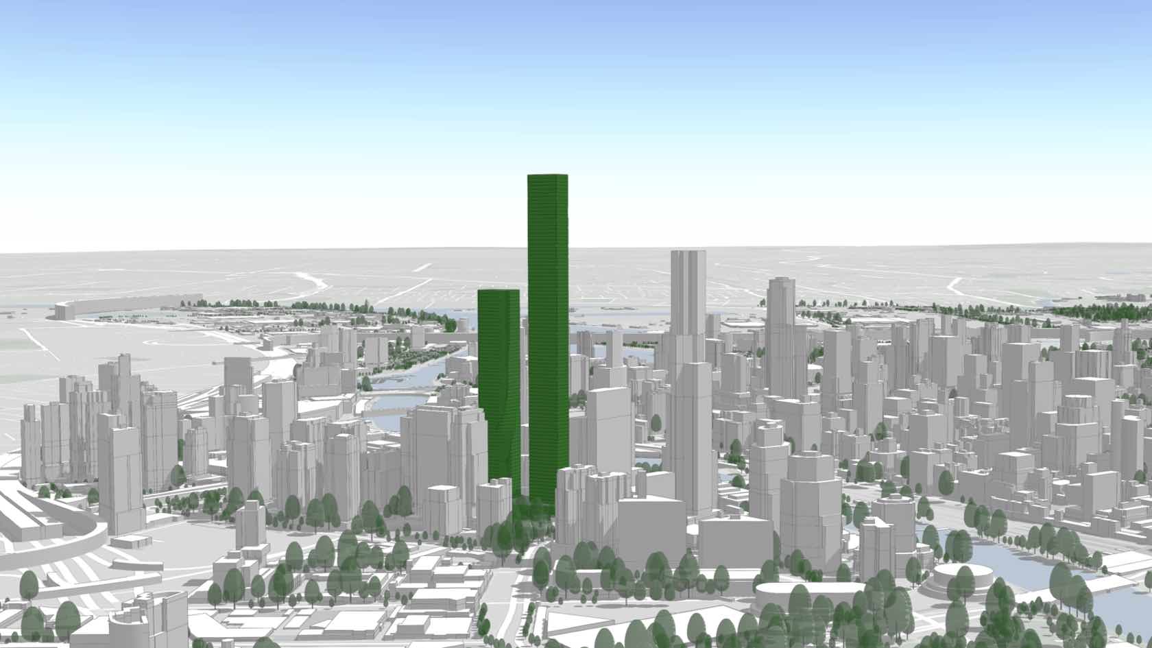
This webinar will explore multidisciplinary design and planning McGregor Coxall’s projects and workflows, demonstrating how integrated feedback loops between Vectorworks’ CAD/BIM process and Esri’s geospatial analysis can result in site-responsive
and data-driven outcomes. It will also delve into how design concepts can feed back into the Esri platform to assess the best final project through quantitative scenario testing and how to communicate complex 2D and 3D outcomes to clients and stakeholders
visually and interactively.
- Manager: Vectorworks University