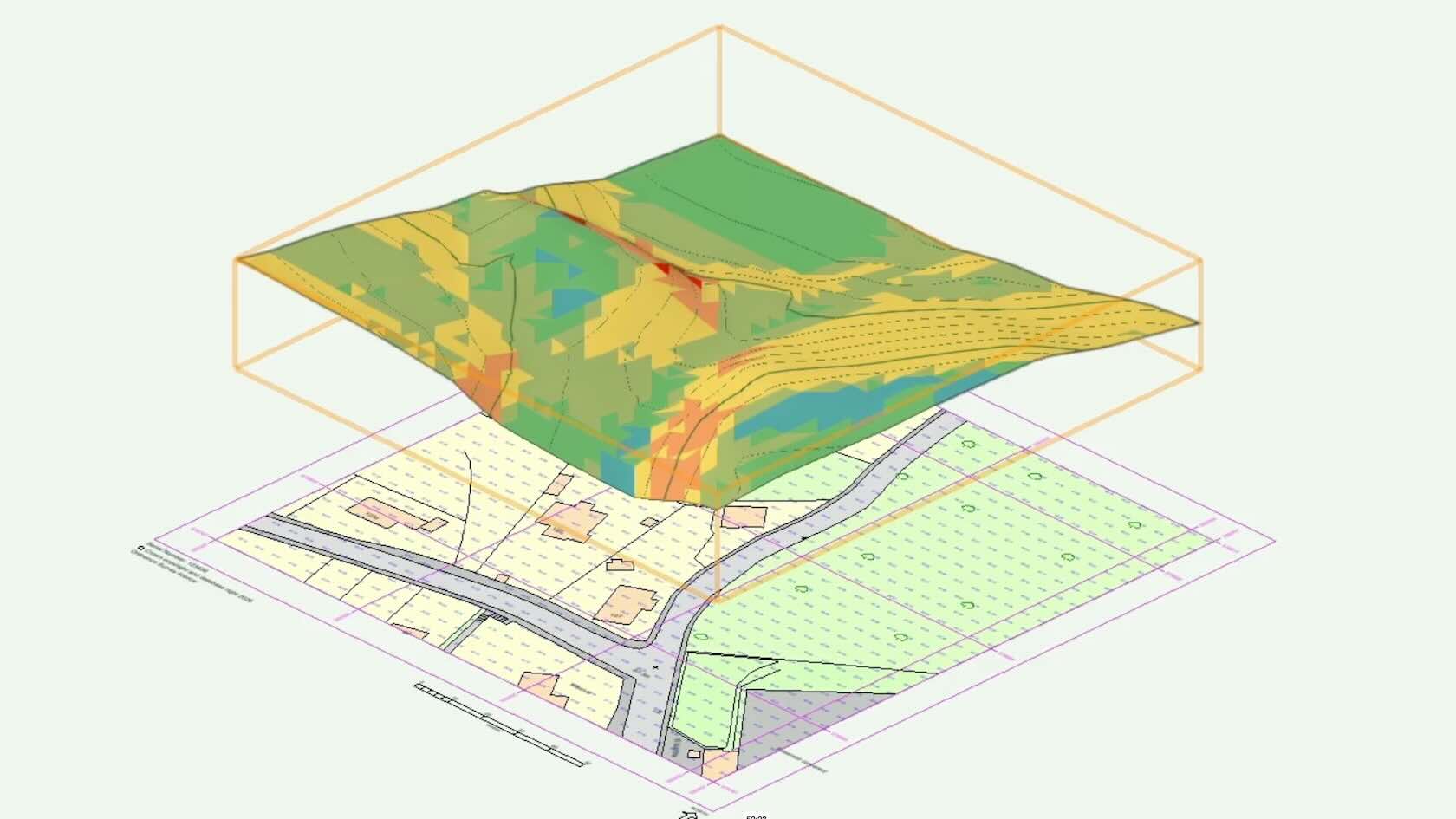
This course provides a comprehensive introduction to site analysis workflows in Vectorworks Landmark, focusing on the tools and techniques needed to transform survey data into meaningful design insights. Participants will learn how to efficiently import and reference survey information, ensuring accurate geolocation and project setup from the outset.
The course covers the creation and refinement of Site Models, including an in-depth exploration of site model settings and analytical features.
Learners will gain practical experience in evaluating terrain through slope, elevation and drainage analysis, enabling more informed design decisions.
Advanced topics include the introduction of Site Model Snapshots to clearly analyse, display and document existing site conditions. The course also introduces data visualization techniques to communicate building usage and spatial relationships clearly within a site context.
In addition, participants will explore environmental analysis tools such as the Heliodon, learning how to conduct solar studies and shadow analysis to assess daylighting, seasonal sun paths, and their impact on site planning and design.
By the end of the course, users will have a solid understanding of how to leverage Vectorworks Landmark for accurate, data-driven site analysis and presentation.