
ORIGINS
Completion requirements
Go through the activity to the end
LOCATION
Project Coordinates
A file can have agreed-upon document X and Y coordinates and be used for basic collaboration and alignment of references. However, it is not georeferenced with this alone, even if Northings and Eastings are used as project coordinates.
A file can have agreed-upon document X and Y coordinates and be used for basic collaboration and alignment of references. However, it is not georeferenced with this alone, even if Northings and Eastings are used as project coordinates.
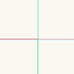
Think: It is this far in X and that far in Y to get a location.
ⓘ The User Origin has nothing to do with georeferencing. It has more in common with graph paper.
Georeferenced
Georeferencing is the process of assigning a real-world coordinate system (typically an EPSG code) to a drawing. Using the correct EPSG code minimizes the distortion inherent in mapping a globe in a flat plane.
Georeferencing is the process of assigning a real-world coordinate system (typically an EPSG code) to a drawing. Using the correct EPSG code minimizes the distortion inherent in mapping a globe in a flat plane.

Think: We are using this interpretation of the world.
Geolocated
Geolocating tells the file that the Internal Origin represents a known location in the world using a known coordinate system. This specifies a known point for all collaborators to work from.
Geolocating tells the file that the Internal Origin represents a known location in the world using a known coordinate system. This specifies a known point for all collaborators to work from.
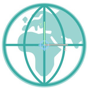
Think: We are using this interpretation of the world, and we are here specifically.
ⓘ A geolocated file is always georeferenced, but a georeferenced file is not necessarily geolocated in a meaningful way.
Essentially, a drawing can (1) ignore coordinates altogether, (2) work from a user's known X, Y, and Z coordinates, or (3) be georeferenced.
Once the file is georeferenced, the location data is tied to the Internal Origin, so Northing and Eastings, Longitude and Latitude, etc., all come from there. This means the User Origin can be anywhere. It could be using a national grid origin or a local project origin as needed. It will have no impact on the actual location of the file, just the reported X and Y coordinates. Having said that, it may still be used to align files between software, so you do want to make sure everyone uses the same settings.
Geolocating the file gives you control of where the Internal Origin represents with your chosen Georeferencing settings. This enables you to ensure your project is within 5 km of the Internal Origin while still maintaining the correct coordinates.
ⓘ Having a file correctly georeferenced and geolocated
- avoids issues from working too far from the Internal Origin,
- helps ensure smooth alignment for file exchanges and referencing,
- allows the use of the GIS tools, and
- is normally mandatory for BIM workflows.