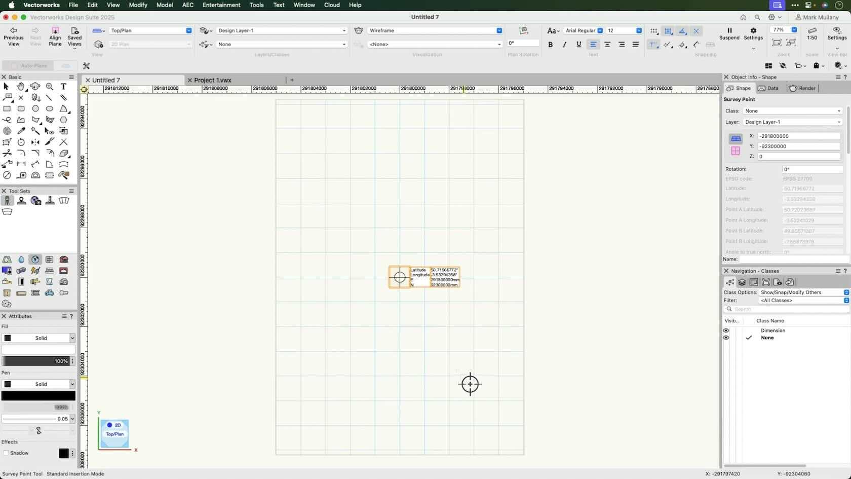
Easily set your Project coordinates, Geolocation and ensure you are working near the internal origin with the Survey Point Tool
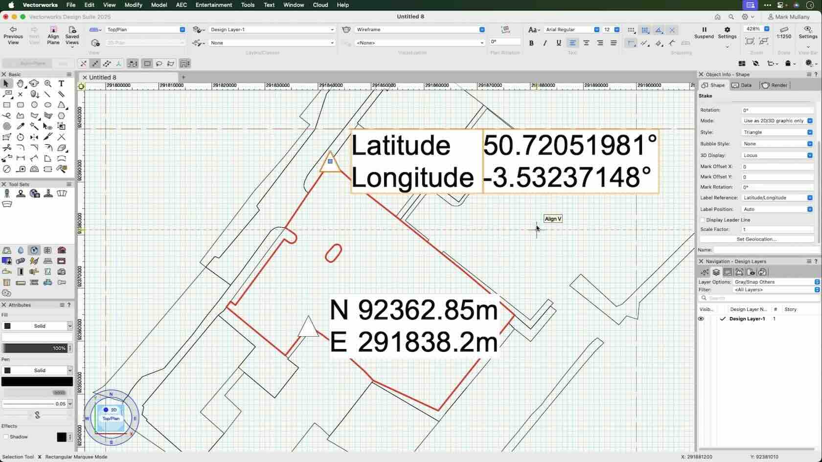
Display your georeferenced coordinate data with GIS stake
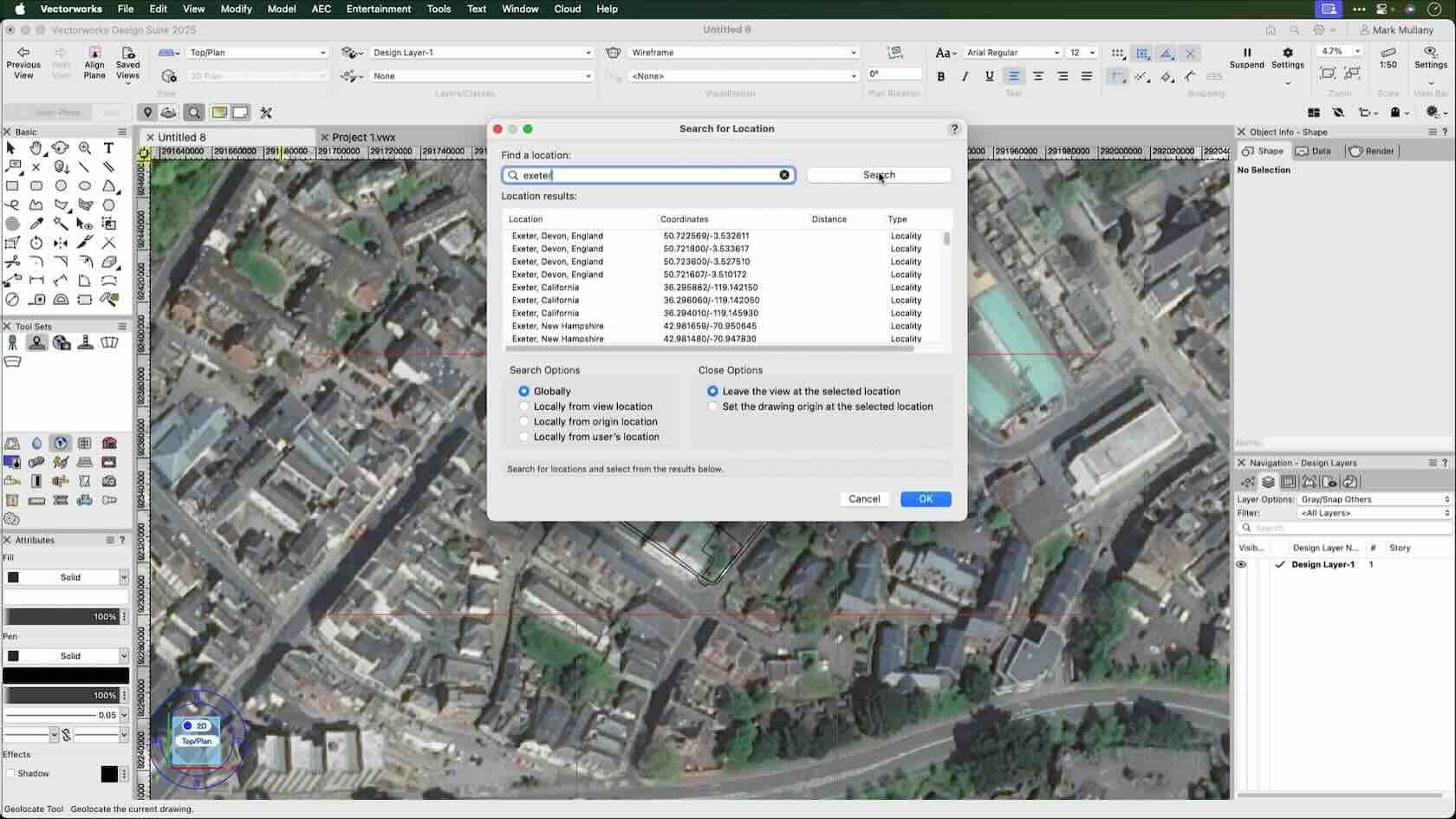
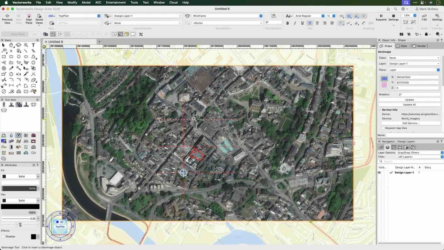
Discover how to create a Geoimage to place your design in context
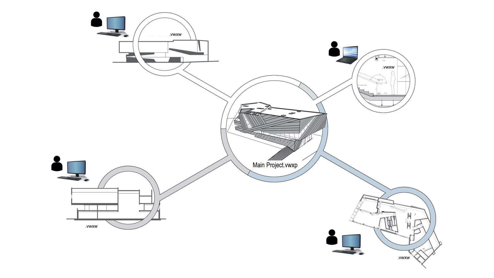
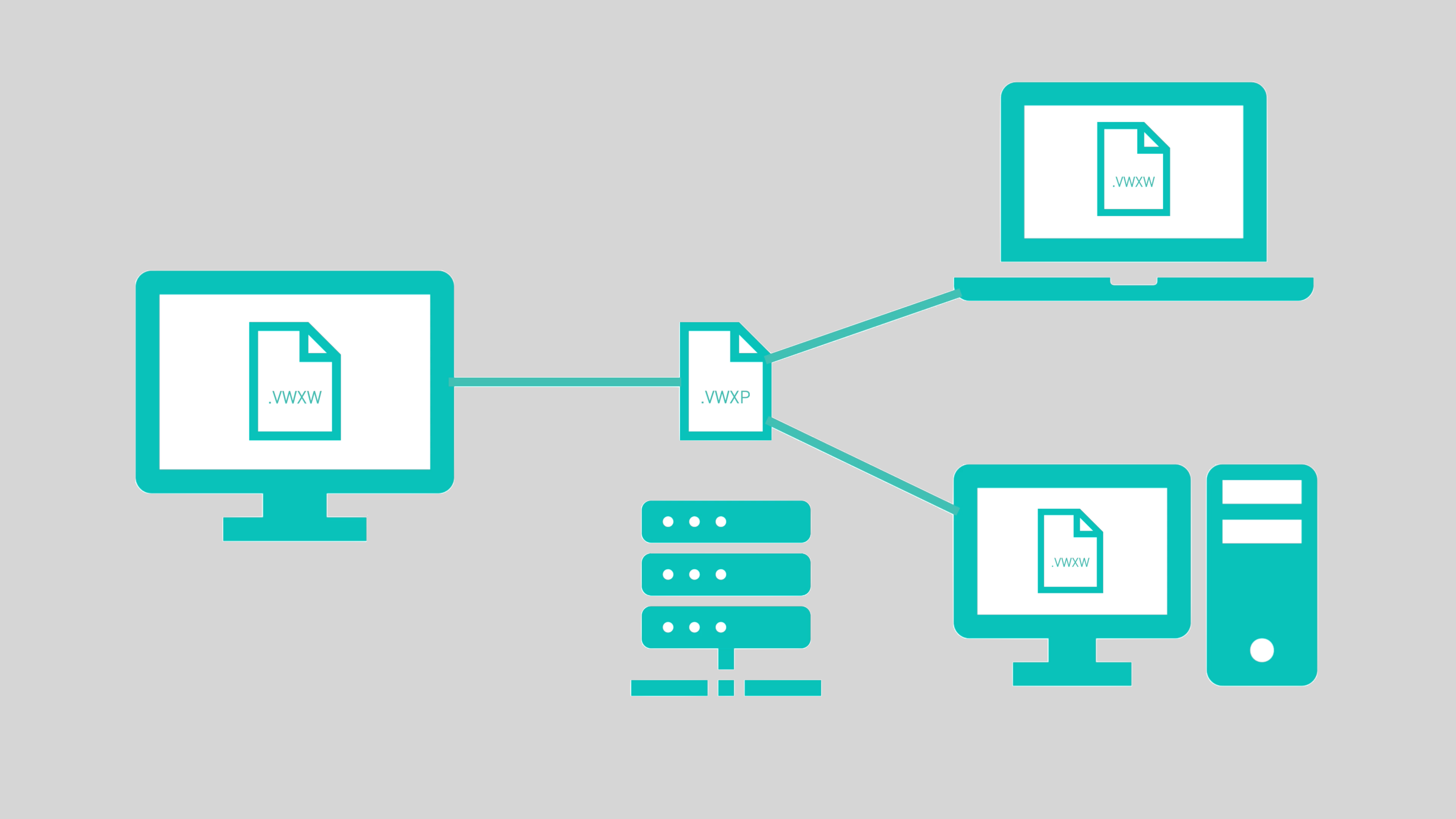
Project sharing allows multiple users to all work an a file simultaneously using Project and Working Files. However some users encounter issues when they have mixed platforms such as Windows and Mac OS. This is because different operating systems use different methods when handling this type of operation.
The Project Sharing Server aims to eliminate the issues caused by this. It does this by creating its own little server that then controls what method is used to handle these operations, removing the risk of conflicts.
The Project Sharing Server is intended for local networks and not for use with file sharing sites such as Dropbox.


