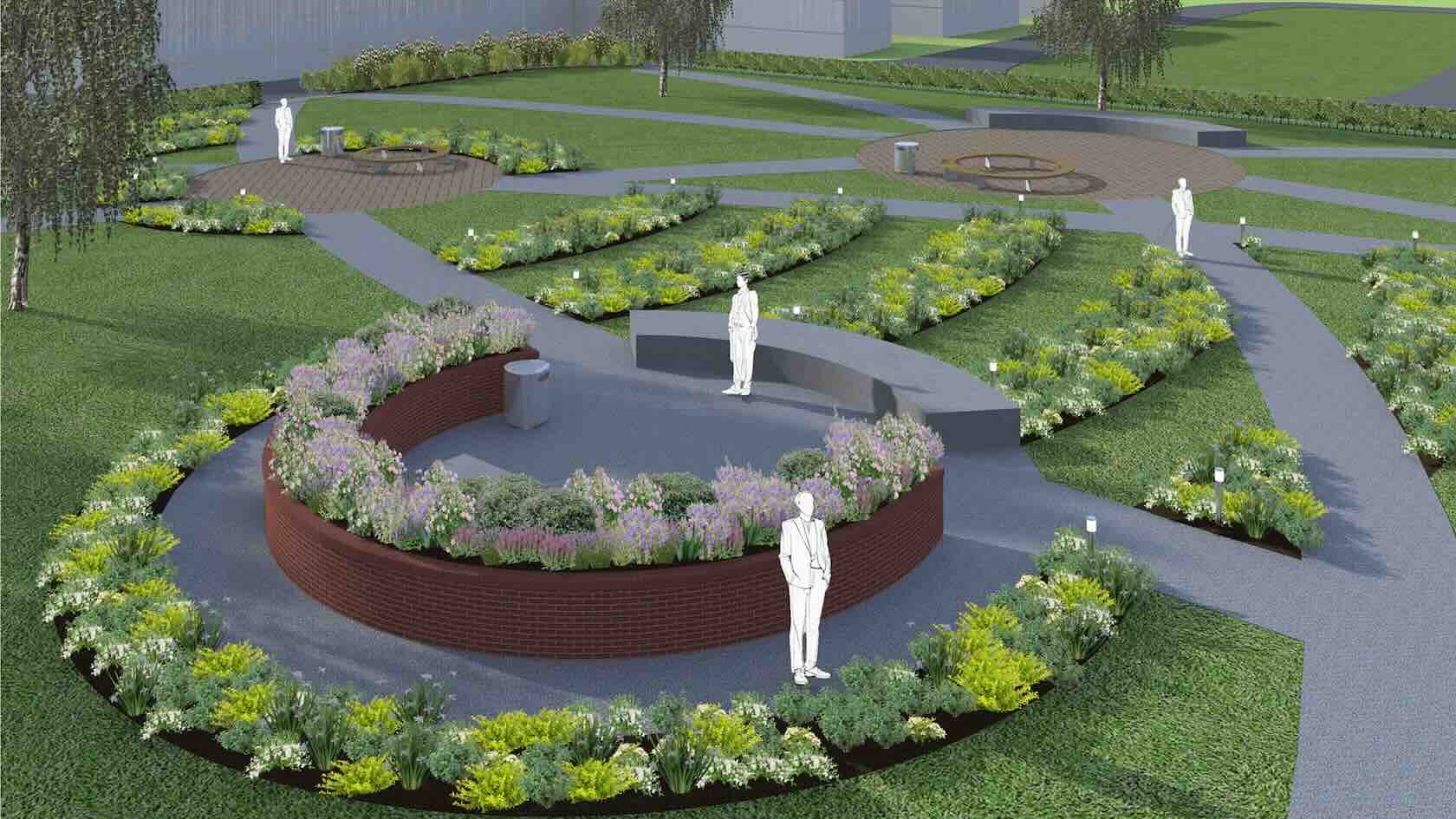
Explore powerful rendering capabilities that elevate landscape ad garden design presentations with photorealistic quality and precision. With integrated tools like Renderworks, you can produce high-quality visuals directly within your design environment and eliminate the need for external applications. The software supports advanced lighting, texture mapping and environmental effects, allowing designers to create compelling renderings that communicate ideas with clarity and impact. Whether it’s commercial landscape walkthroughs, detailed planting visuals, or immersive garden designs, Vectorworks Landmark supports visualization process for production of both enhanced client presentations and internal design development. The seamless workflow, combined with customizable render styles, ensures that landscape professionals can deliver stunning visuals without compromising on efficiency or creativity.
Landscapes
Landscapes
50m
Intermediate
Learning Objectives
Understand the core rendering features and workflows within Vectorworks for producing high-impact visuals.
Learn how to utilise lighting, textures, and camera settings to enhance the realism of your renderings.
Explore time-saving tips and techniques for integrating visualization seamlessly into your design process.
Take a behind-the-scenes look at a real-world,
streamlined landscape design process using design software and supporting
technologies.
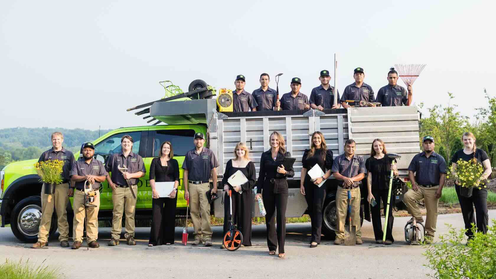
This session, hosted by Maggie Little and Andrea Wilson
Mueller of Inside Out
Landscape Design, walks you through the entire project lifecycle — from
capturing site measurements and budgeting to producing polished presentations
and build-ready documentation.
Learn how integrating smart workflows improves
internal efficiency and elevates the client experience with compelling visuals
and clear construction directives.
To receive 1 LA CES PDH and 1 APLD CEU, please make sure to login and complete the quiz after watching our webinar.
Landscapes
Landscapes
50m
Beginner
Learning Objectives
Leverage digital tools for fast, accurate site
analysis and documentation.
Use worksheets and data-rich models for
estimating, budgeting, and ensuring build accuracy.
Enhance client engagement and close more sales
with impactful 3D visualizations.
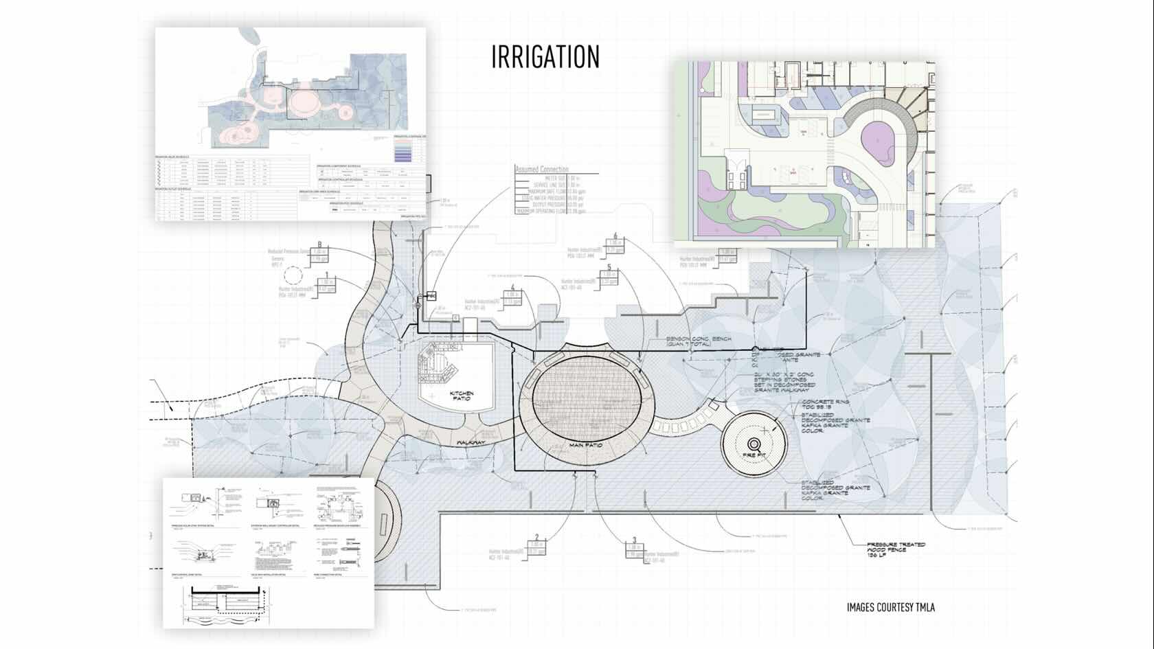
Irrigation design for efficiency, analysis, and quantity takeoffs are standard
requirements in today’s world of landscape design.
The powerful tools within Vectorworks Landmark allow you to place
outlets while seeing product-specified performance. Connect piping in your
design that’ll calculate friction loss and hydraulic pressure, while
automatically sizing the lateral and mainline piping. And, you can place drip
tubing while generating true GPH required per zone.
Once designed, you can analyze, document, and calculate the irrigation
network, creating a robust, water-efficient irrigation design.
To receive 1 APLD CEU, please make sure to login and complete the quiz after watching our webinar.
Landscapes
Landscapes
48m
Beginner
Learning Objectives
Explore
the use of the irrigation design tool set in Vectorworks Landmark.
Learn
how to place outlets, pipe, valves, and drip lines.
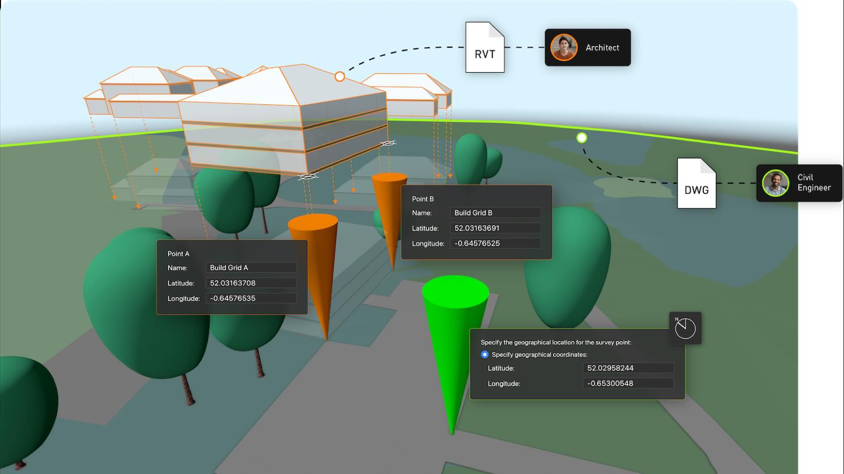
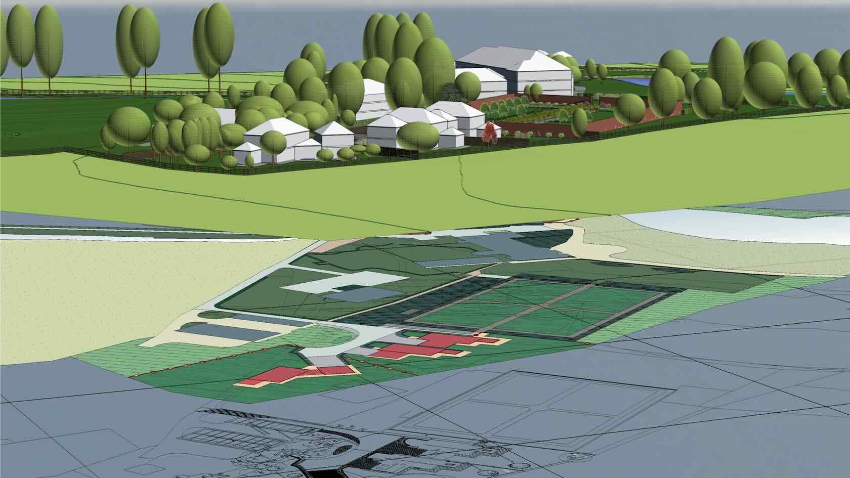
This workflow provides a comprehensive, step-by-step guide to setting up project templates and origins in Vectorworks, ensuring accurate georeferencing, efficient collaboration, and optimal software performance for architectural and design projects. The curriculum is structured around practical workflows tailored to different project scenarios, from blank document creation to advanced geospatial coordination.
Landscapes
Landscapes
30m
Intermediate
Learning Objectives
Confidently set up and customize Vectorworks project templates for various project types.
Accurately define and manage project origins, coordinates, and georeferencing settings.
Import and align third-party data (e.g., DWG surveys) and maintain spatial accuracy.
Prepare project files for seamless collaboration with external partners and software platforms.
For design-build practices 2D drafting and plans can be unbelievably
effective.
Join Carl Molter of ecological design-build company
Indigenous Ingenuities for this informative webinar. You’ll learn how 2D
drawings can effectively contain both information and beauty.
To receive 1 LA CES PDH and 1 APLD CEU, please make sure to login and complete the quiz after watching our webinar.
Landscapes
Landscapes
50m
Beginner
Learning Objectives
Observe 2D design-build plans from field work to
final presentation.
Discover how a custom workgroup can speed up
drawing production.
Witness tips to efficiently manage drawing file
sizes and create phased pricing plans from a single master plan.
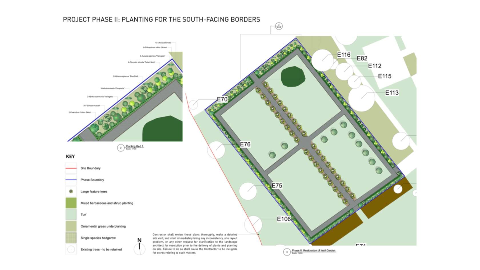
Streamlining Your Planting Plans with Vectorworks and EvergreenConnect
Learn how integrating Vectorworks with EvergreenConnect’s live plant availability data can enhance the efficiency and accuracy of your planting plan workflow. This webinar will show you how to check your Vectorworks planting plans against real-time availability and cost data from EvergreenConnect, helping you create designs that are both practical and cost-effective.
Landscapes
Landscapes
1h 4m
Intermediate
Learning Objectives
Learn how to link Vectorworks planting plans with EvergreenConnect for real-time plant availability and pricing
See how to export plant counts and selections directly to EvergreenConnect
Discover the project management features available within EvergreenConnect
Gain practical tips for improving workflow efficiency and accuracy
Participate in a Q and A session with Ben Beaumont and Todd Gallagher
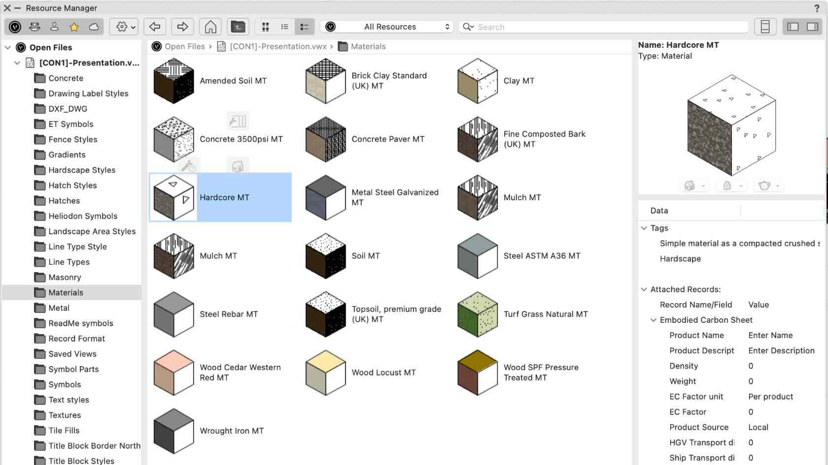
Join landscape industry expert Marketa Hermova for an enlightening webinar on estimating embodied carbon and utilizing tools that empower you to make impactful design choices regarding material and product specifications. This session will also showcase how you can actively tackle a landscape project's carbon footprint through workflows highlighted in a project case study.
To receive 1 APLD CEU, please make sure to login and complete the quiz after watching our webinar.
Landscapes
Landscapes
1h
Beginner
Learning Objectives
Get an overview of Vectorworks Embodied Carbon Calculator
(VECC), a pre-formatted worksheet that allows you to estimate the project's
embodied carbon.
Explore the data difference in Vectorworks Landmark and
learn about a custom record format for tracking a material's attributes,
properties, and embodied carbon.
Gain knowledge of the existing workflows and the embodied
carbon assessment for a project in its early or advanced development stage.
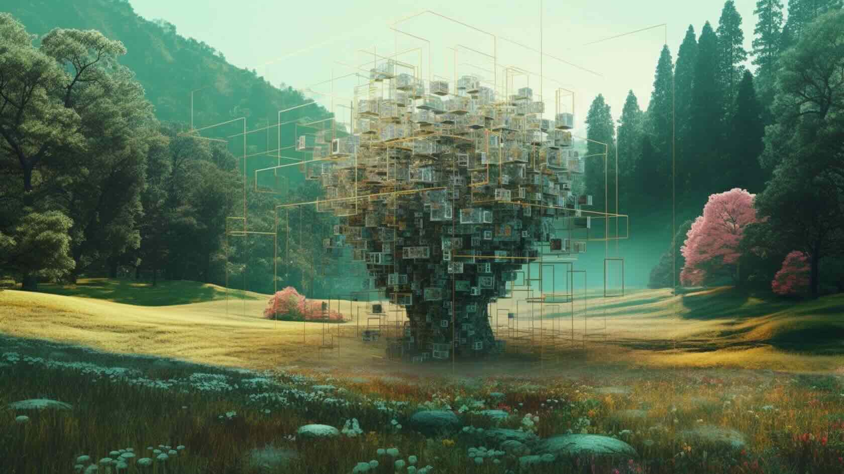
Take a tour through the world of AI-powered landscape design.
This webinar is your passport to understanding how
artificial intelligence is transforming the built environment. From Generative
AI applications optimizing design and analysis workflows to robots monitoring
wetland restoration and dry stacking stone walls, you’ll witness compelling
case studies of how AI can be a collaborator — not just a tool — in the design and
planning process.
To receive 1 LA CES PDH and 1 APLD CEU, please make sure to login and complete the quiz after watching our webinar.
Landscapes
Landscapes
50m
Beginner
Learning Objectives
Gain a reasonable understanding of the field and applications of artificial intelligence and their context in the built environment.
Examine case studies of AI integration in landscape and urban design.
Learn mental
models for human-AI partnership in the design process.
Streamlining Your Annotation Process with Callouts, Data Tags and Note Tools
Join us for the session which will dive into available digital tools to assist you when creating and managing annotations in your landscape plans. Desired visual representation of your labeled plans can be achieved, all whilst mastering the alignment of your keynotes, tags and callouts. Open for all levels, the session will focus on some of the latest improvements that will help you to stay organized and save time when creating and customizing your landscape plans.
Landscapes
Landscapes
1h 2m
Intermediate
Learning Objectives
Learn how to automate the process with the use of data tags.
Gain an understanding of Callout and Note tools to ensure clarity and consistency in your designs.
Explore the callout database and note manager while utilizing their potential to produce customized text descriptions such as disclaimers or product specifications.
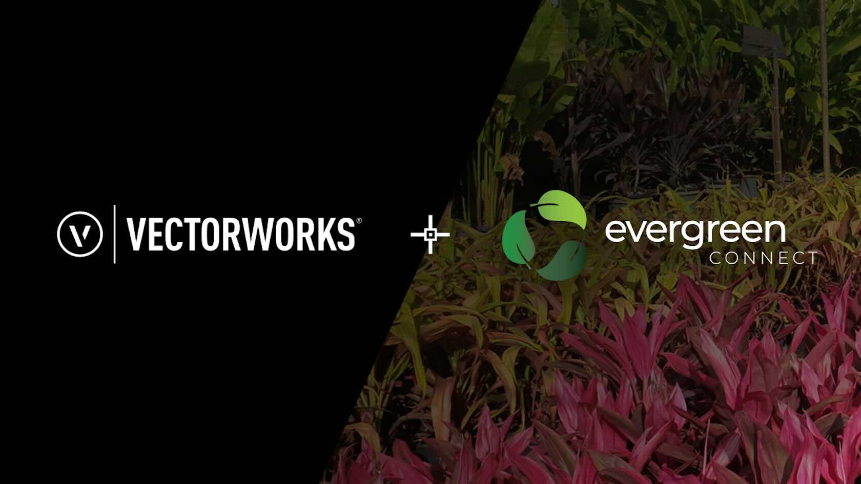
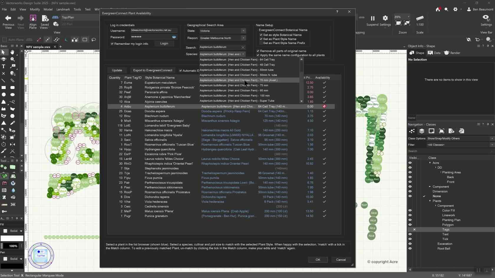
Seamlessly link from Vectorworks Landmark to EvergreenConnect, Australia and New Zealand’s leading plant brokerage database with the plant selection process. Integrating real-time plant availability bridges the gap between plant suppliers and landscape designers, ensuring more informed plant choices earlier in the design phase. This plugin allows designers to consider availability, cost factors, and supplier options directly within Vectorworks, streamlining specification and procurement for landscape professionals.
Landscapes
Landscapes
2m
Beginner
Learning Objectives
Learn about the new Evergreen Connect feature released with Vectorworks 2025 Update 4.