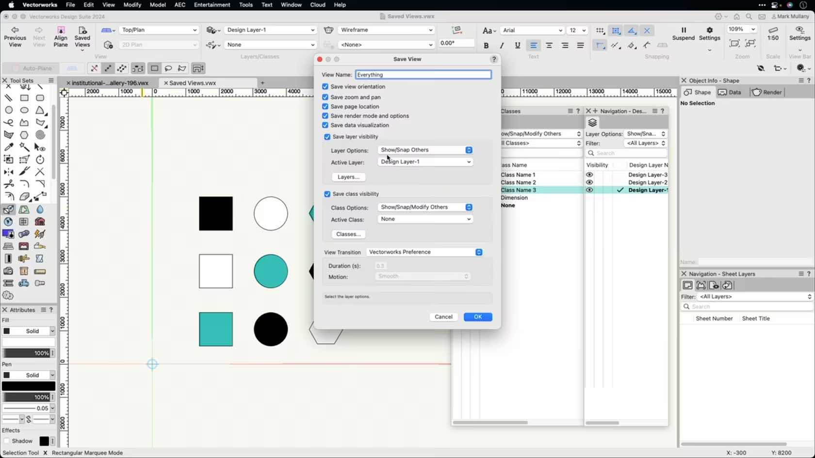
This course demonstrates how to create custom saved views to increase productivity.
Category: Skill
Requires Approval: No
This course demonstrates how to create custom saved views to increase productivity.
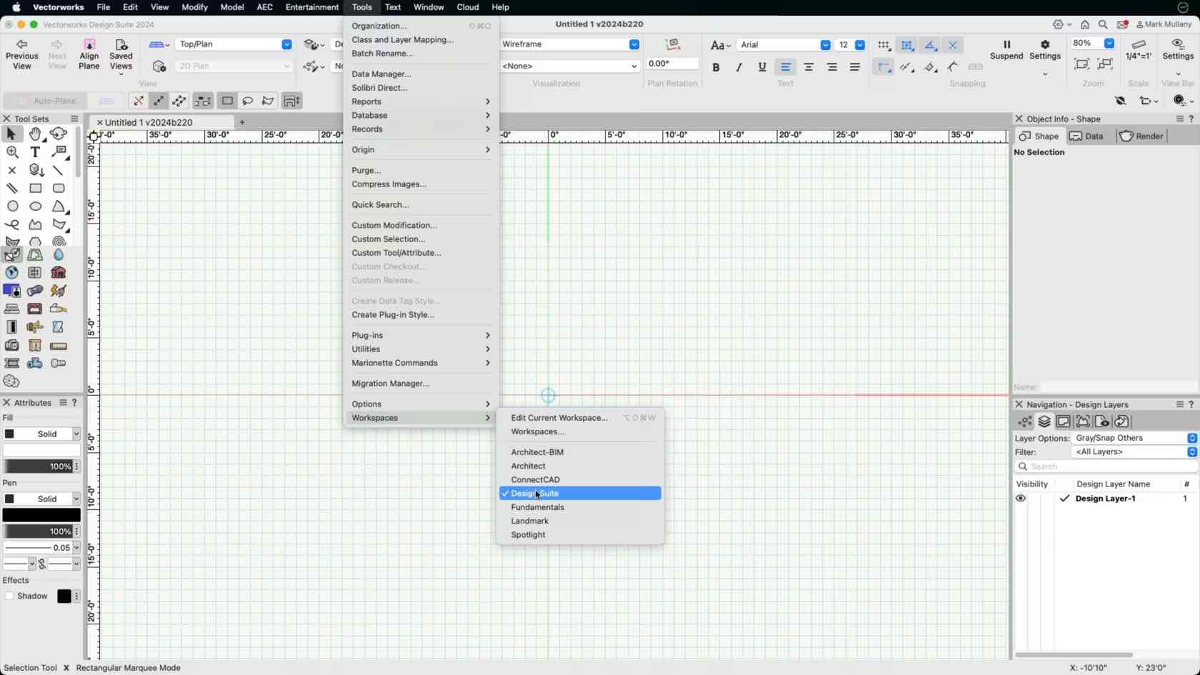
In this course, we will explore where we can adjust the workspace and confirm we are in the intended workspace.
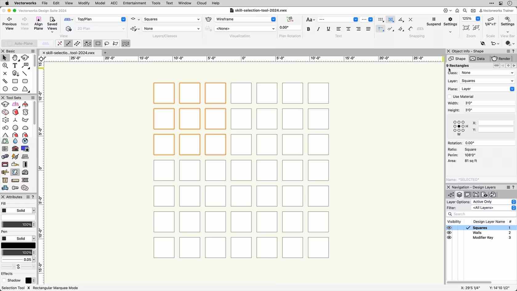
This course covers the various functions and modes of the Selection Tool.
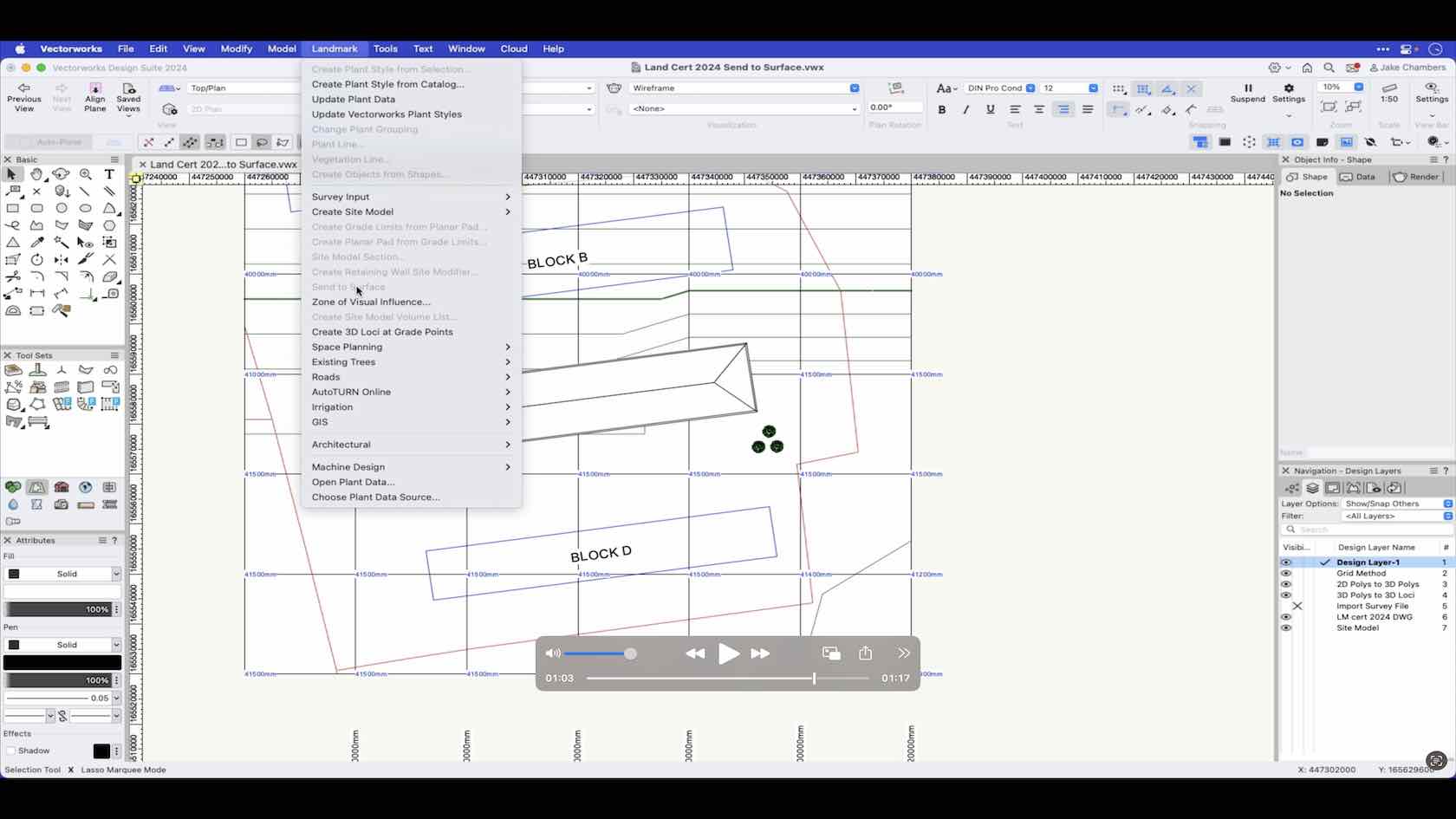
An overview of the send to surface command.
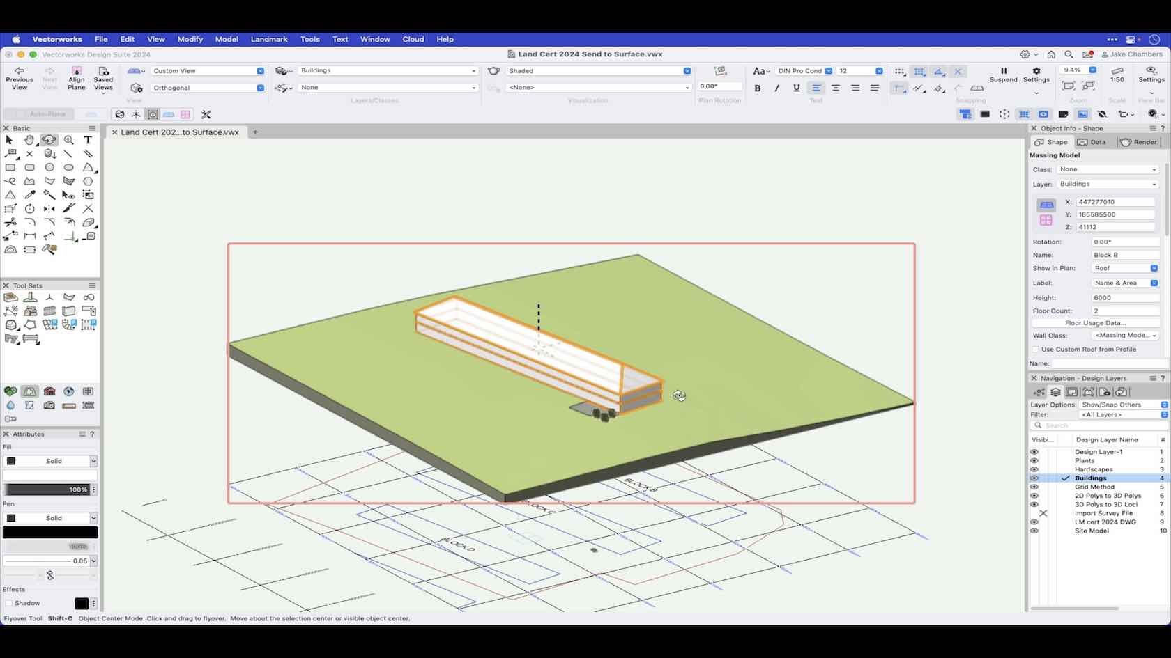
In this video we go through the send to surface command to send objects to the site model surface.
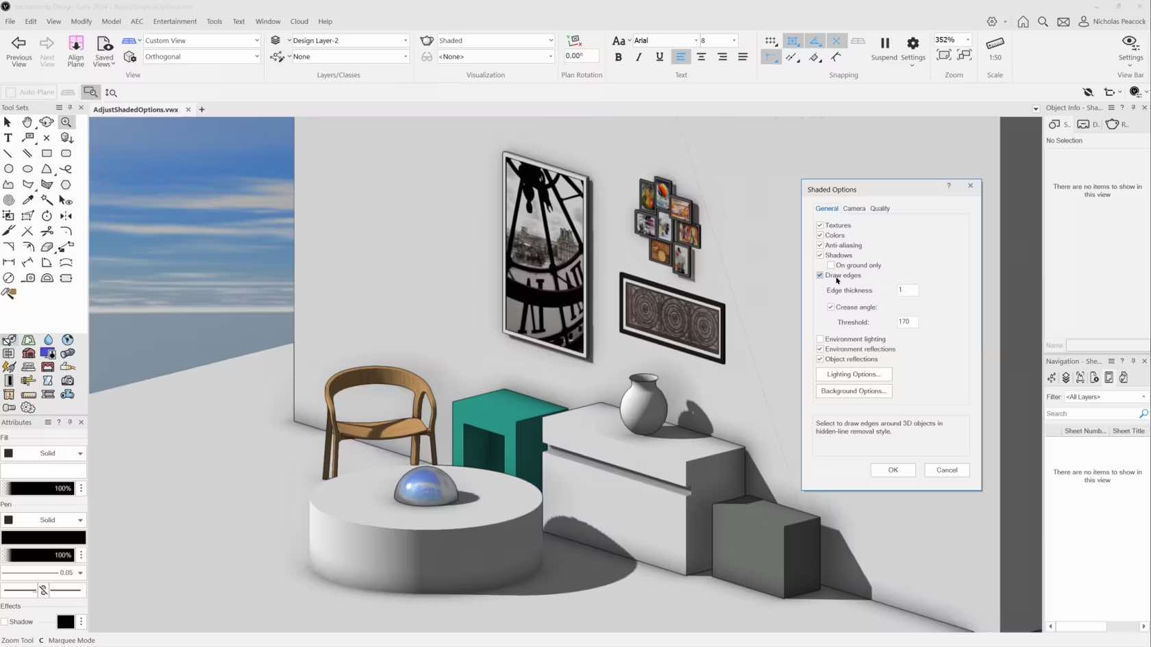
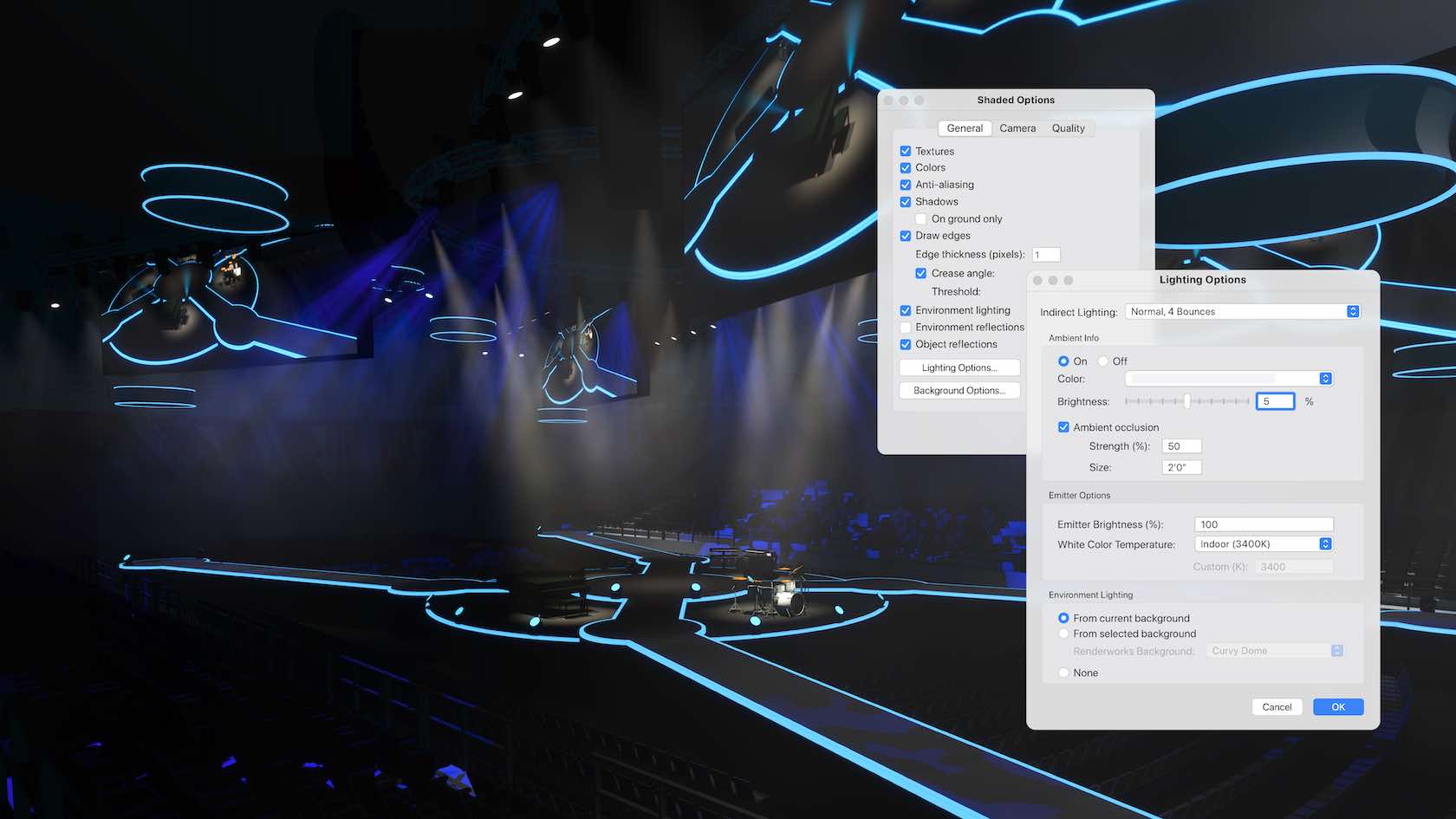
Create higher levels of realism earlier in your design process with improvements to Shaded rendering. Take advantage of unlimited shadow casting in real-time processing to assess your designs more confidently on the fly and quickly determine lighting, camera, and material setup so you can create better visuals more quickly. The shaded options dialog now includes direct
access to lighting controls, like ambient and environmental lighting, and
Renderworks background controls. Access all new camera settings that allow you to
define depth of field, exposure, and the ability to add bloom for camera-like
effects on your shaded render views.
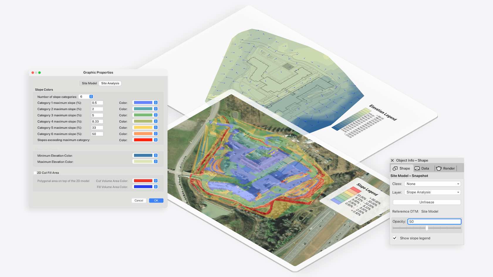
Experience better control over the graphical output of your site model snapshot with new legends to help clients understand annotations. A highly customizable color scale provides all the relevant information about slope ranges and elevation values. Additional settings allow you to display customizable site model data, perfect for reference or comparative analyses. Easily visualize data and effectively make and communicate design decisions.
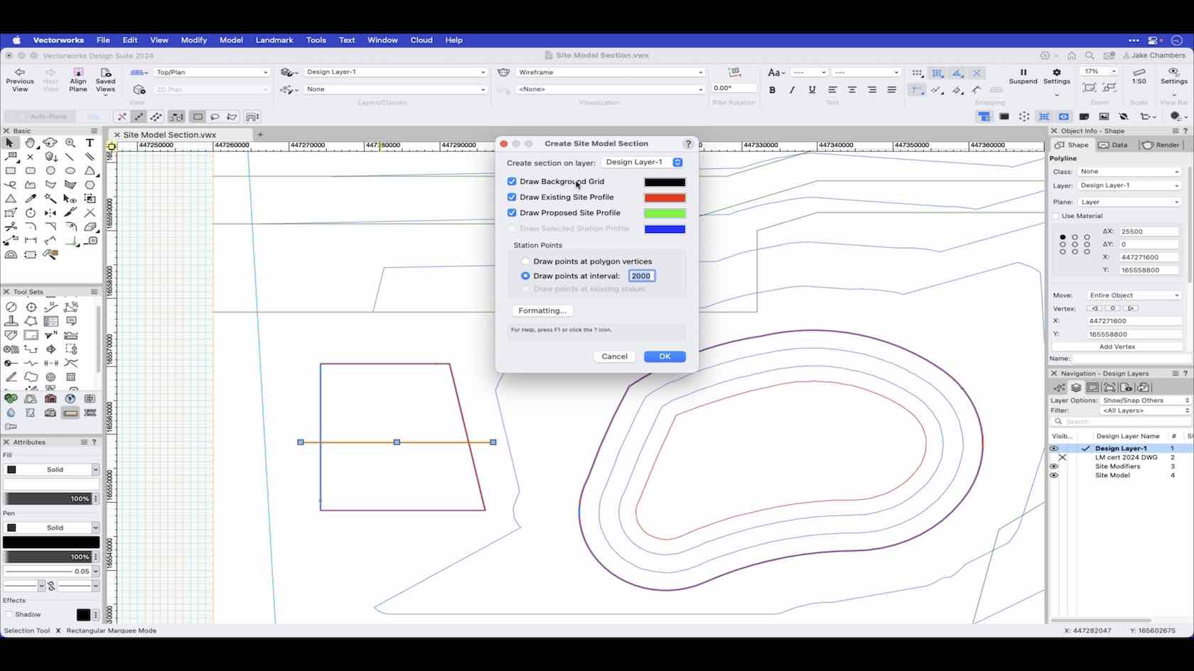
In this video we show how to use the site model section command on a defined section of the site model.
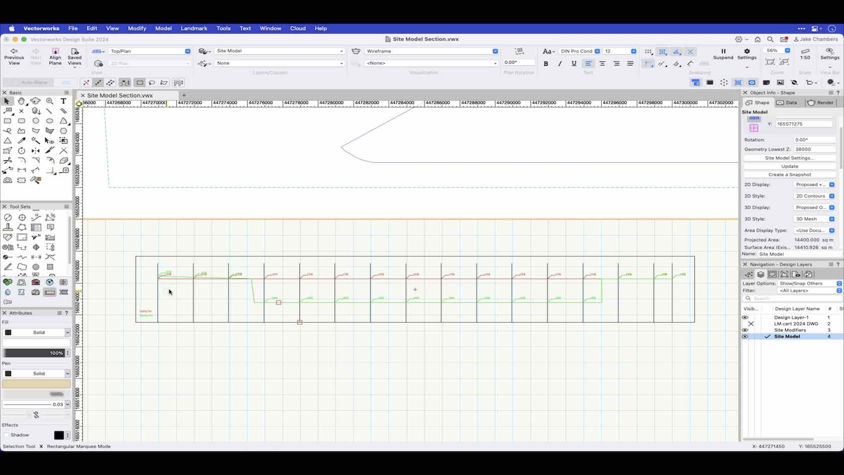
An overview of the Site Model section command.
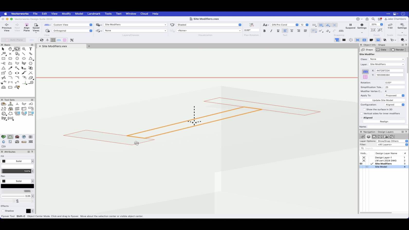
The aligned modifier creates an aligned pad that vertically matches the horizontal edges of surrounding modifiers. Aligned pads are complex, non-planar modifiers that can also be modified with vertical profiles, stake objects, and grade objects. This video demonstrates how to draw an aligned modifier.
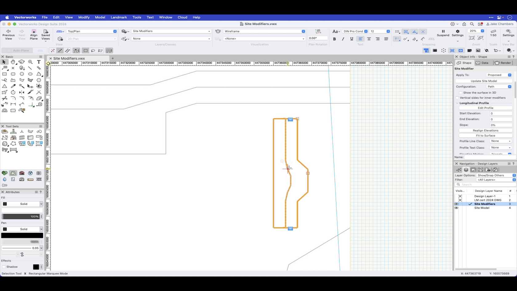
The boundary path modifier creates a surface defined by one longitudinal profile and a set of transverse profiles, defined as a boundary polyline with a center line based on the boundary. This video demonstrates how to draw and use the boundary path modifier.
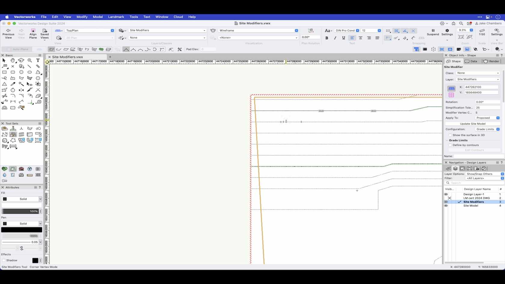
The grade limit defines an area of topographical transition between existing site data and the site modifiers enclosed within the limits. This video will demonstrate how to draw and apply a grade limit to the site model.
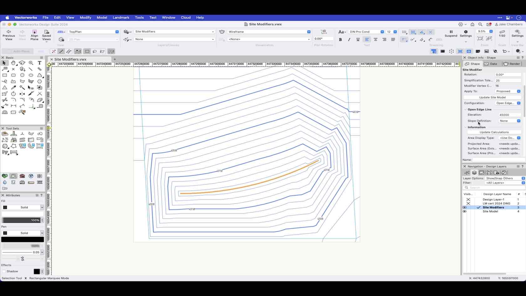
An open edge line modifier is an open 3D polygon which modifies the site model, and represents an open line at a constant elevation.
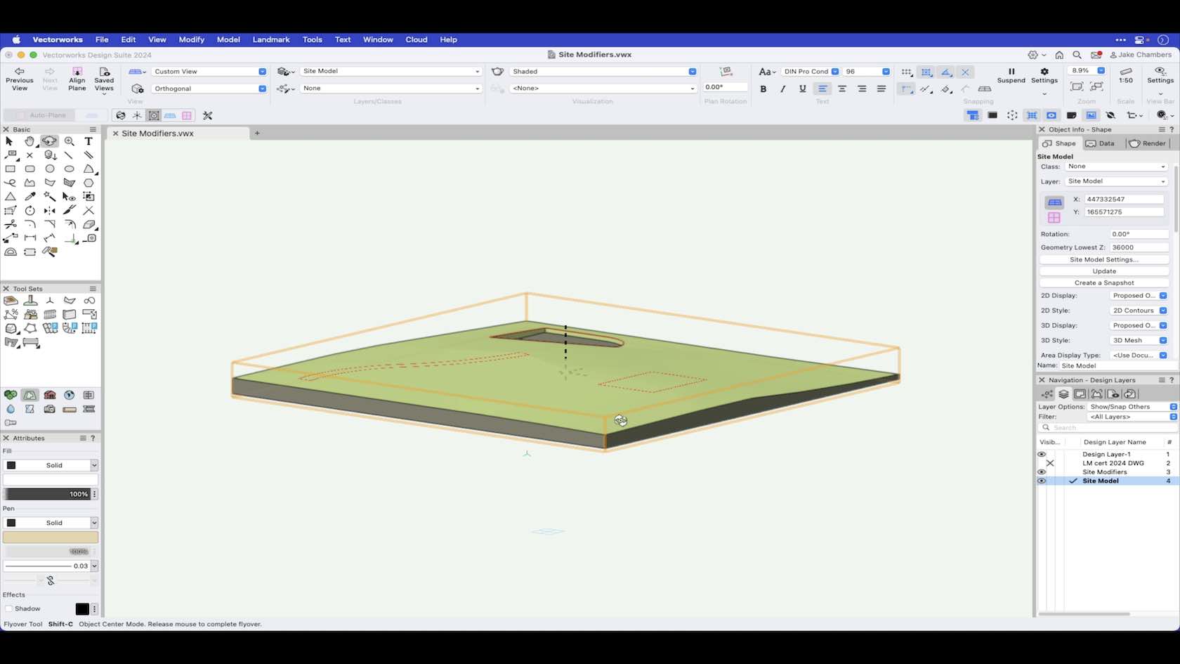
Site Modifiers are used to modify and make changes to the site model surface.
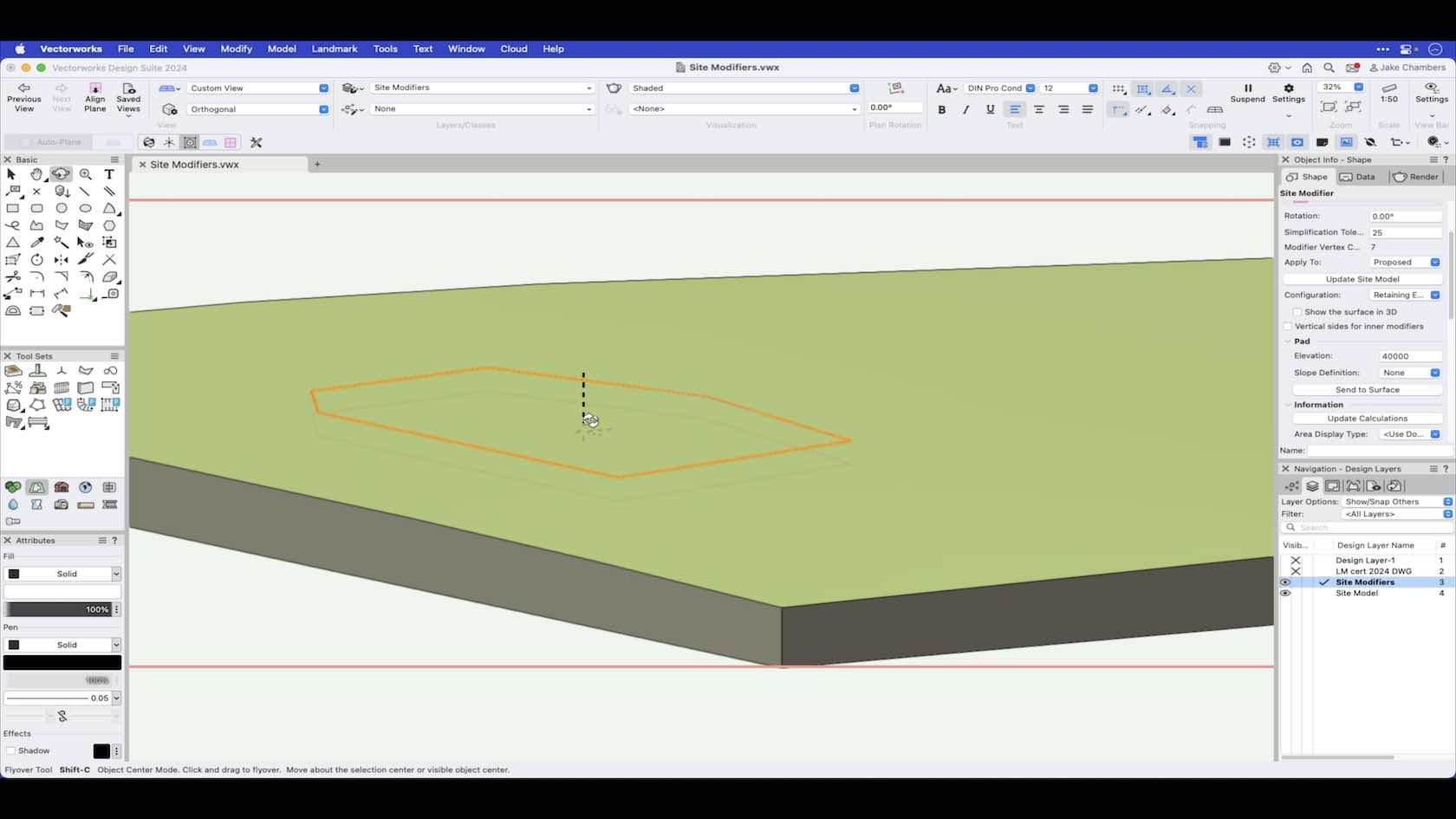
The pad with retaining edge creates a pad with an edge around it, allowing the terrain to be shaped around the pad. This video demonstrates how to draw a pad with retaining edge and use its features.
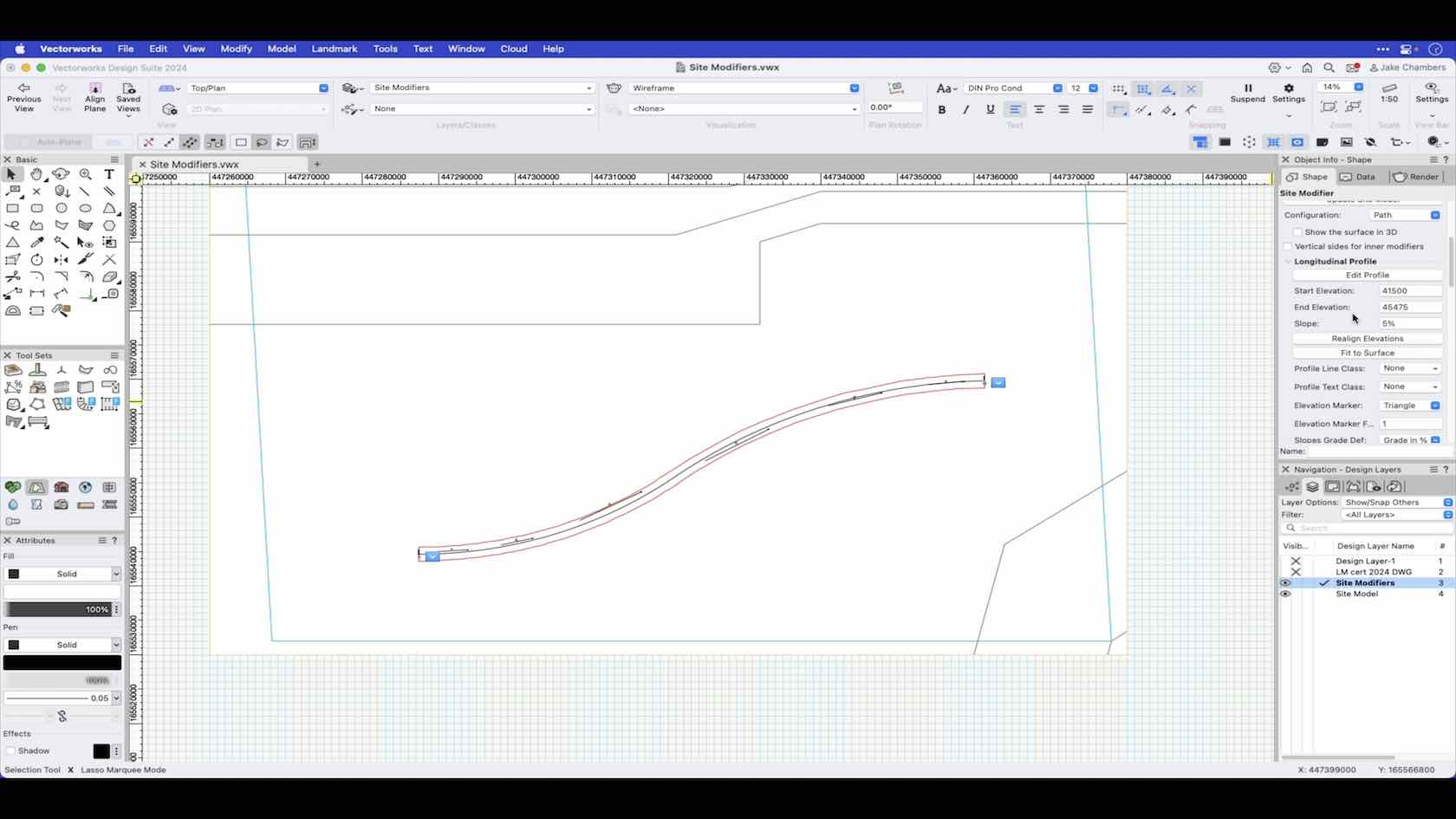
The pathway path modifier creates a surface defined by one longitudinal profile and a set of transverse profiles, defined by a pathway/center line polyline and a specified width value. This video demonstrates how to draw a pathway path modifier and how to use features such as transverse profiles.